Modern GPS technology and historical research results in a new parcel of land being opened to the public.
Overview
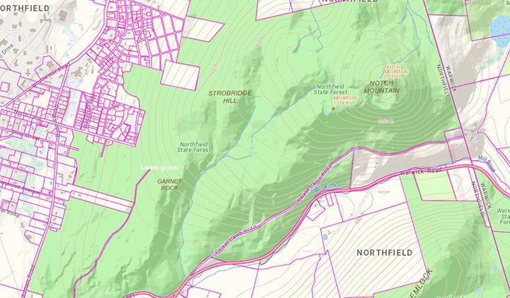
Surplus land had been identified at Northfield Mount Hermon School which had the potential for public use.
Solution
- Retraced property lines and determined the boundary for the 1,600 acre parcel in question.
- Completed historical research using 200 year old property deeds.
- Used modern GPS technology to find stones and other historical monuments on the property.
Outcome
The 1,600 acre parcel is now owned by the Massachusetts Department of Conservation and available for public use.